
Page 116 - GIS for Science, Volume 3 Preview
P. 116
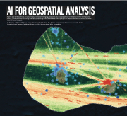
 AI FOR GEOSPATIAL ANALYSIS
Marine and Earth scientists are using treasure troves of emerging geospatial data to apply artificial intelligence to their work as never before. Pervasive cloud computing and rapidly improving machine and deep-learning algorithm capabilities have combined to create a
Nord University Land Change Science Program
 new GIS neural network.
By Bonnie Lei, Microsoft; Kate Longley-Wood and Zach Ferdana, The Nature Conservancy; Susanna De Beauville-Scott, Organisation of Eastern Caribbean States; and Nick Wise and Inga Wise, OceanMind
104 GIS for Science
